Social Distancing-friendly Outdoor Spaces in Richland County
Need to get outside the house? We have plenty of Quarantine-friendly Outdoor Spaces here in Richland County. Wide-open spaces are perfect for getting the health benefits of sunshine and fresh air while maintaining six feet of space for social distancing. The following places remain open to the public, but please abide by all CDC guidelines and follow all government instructions to help prevent the spread of COVID-19.
Bike or hike the historic Richland B&O Trail. Richland County became the 70th Rails to Trails project and now provides and maintains 18 miles of scenic trail through the heart of Richland County, connecting the villages of Butler, Bellville, and Lexington and the city of Mansfield. Expect to see new signage along the trail this summer.
Visitors will see mile markers, multiple parking areas, and benches along the trail. Rest stations in Bellville and Lexington offer restrooms and water fountains.
Free bicycle rentals are available at Y-Not Cycling and Fitness for those that are out of school or work. A great way to destress, get some exercise and get outside. If you would like a “drive up” rental, please follow the link below to download the rental form from the appropriate location and fill out. When you arrive to either store please call and we will bring the bicycle out to you. https://www.ynotcycling.com/articles/bike-rentals-pg282.htm
All park district trail systems (Gorman Nature Center, B&O Bike Trail, etc.) are still open to the public, dawn-to-dusk, throughout the year. The Gorman Nature Center Visitor Center, will be closed through Friday, March 27. All programs, events and group usage of the building is canceled as well, until further notice. Outdoor access restrooms are also located at GNC. Gorman Nature Center consists of 150 acres of park land in various terrains, from open fields to woods and streams. Walk the 6 different intertwining trails totaling just over 3 miles, and stop in the Wildlife Watchtower to spot animals below.
The park, Visitor Center, and Gift shop remain open. The Malabar Farm grounds contain several trails, most through wooded hilly areas. Some parts are handicap accessible and good for beginners, while others are more difficult, crossing streams, cliffs and caves. Butternut Trail is Malabar Farm’s most popular trail due to a cave about 1/4 mile into the trail.
Clear Fork Valley Scenic Trail
This 8-mile hike traverses 570 acres of nature preserves, incorporating old-growth forest, rolling terrains, and prairie flowers and grasses. This path connects with the B&O Bike Trail in Butler at one end and Malabar Farm and Mohican State Parks at the other. The 8 miles includes two spurs, including Valley View Spur, which with an elevation of 1,370 feet, is one of the highest points in Richland County. Skipping the two spurs will make the path about 6 miles.
Pleasant Hill Lake Park has more than 15 miles of trails connecting with Malabar, Mohican, and equine trails. Easier trails are located within the official park, with further-flung trails extending around most of the lake. Take a break from hiking, relax, and look out across the beautiful lake as you rest.
The Donaldson Family Nature Trail is located off Crider Road and County Road 1808. The loop is about 2 miles and includes hills and woods.
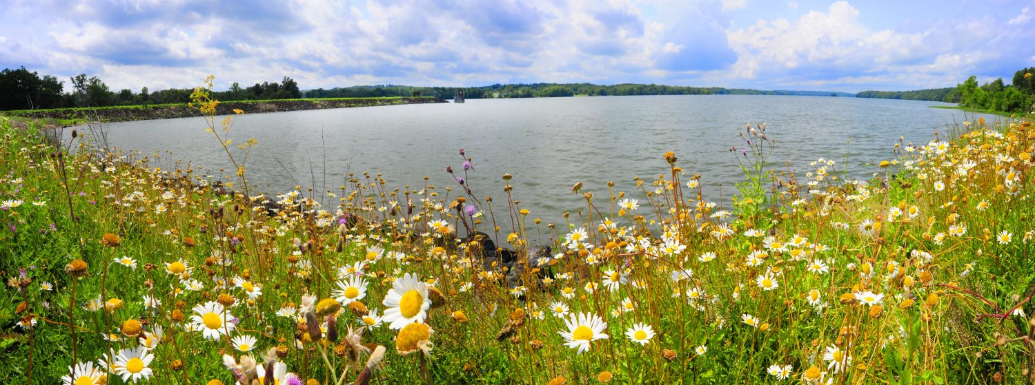
Shelby Upground Reservoir No. 2
Walk the 1-mile paved path around the reservoir.
Shelby Reservoir No. 3
Walk the 1.25 miles of paved walking path around the reservoir or venture into the woods on the 3-mile nature trail.
Stoller Rd Trail
This 4-mile dirt trail winds through woods and hills with some excellent views of the Clear Fork Reservoir. There are also some more difficult upper trails created by area off-road bicyclists. These trails are more winding and cross several ravines. According to Just Walk Richland County, Stoller Rd existed before the dam was filled. Parts of the road can still be seen crossing paths.